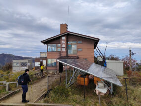
この記事は10月下旬ごろ、家族で登った塔ノ岳(とうのだけ)登山の話です。12月の塔ノ岳はとても寒いので、装備に注意してくださいね。さて、塔ノ岳の説明です。
This article is about climbing Mt. Tonodake with my family around the end of October. Mt. Tonodake in December is very cold, so please be careful with your equipment. Now, let me explain Mt. Tonodake.
塔ノ岳は丹沢山地南部にある標高1,491 mの山となります。神奈川県秦野市、愛甲郡清川村、足柄上郡山北町の境目に位置する峠です。場所は下記地図をご参照下さい。
Tonodake is a mountain with an altitude of 1,491 m located in the southern part of the Tanzawa mountain range. This pass is located on the border of Hadano City, Kanagawa Prefecture, Kiyokawa Village in Aiko County, and Yamakita Town in Ashigarakami County. Please refer to the map below for the location.
登山口へは車やバスで行くことが出来ます。近くに駐車場がありマイカーで行くのもありですし、小田急線渋沢駅からバスで行くことも可能です。塔ノ岳へのルートは複数存在します。今回は大倉からの登山になります。
You can reach the trailhead by car or bus. There is a parking lot nearby and you can go by car, or you can go by bus from Shibusawa Station on the Odakyu Line. There are multiple routes to Mt. Tonodake. This time we will be climbing from Okura.
登山時間は個人差があるので何とも言えませんが、登り3時間30分~4時間、下り2時間30分前後です。
Climbing time varies from person to person, so I can’t say anything about it, but it takes about 3 hours and 30 minutes to 4 hours for the climb and about 2 hours and 30 minutes for the descent.
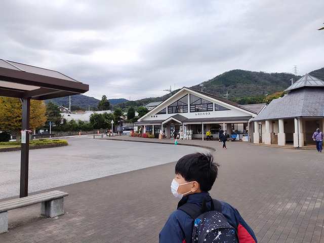
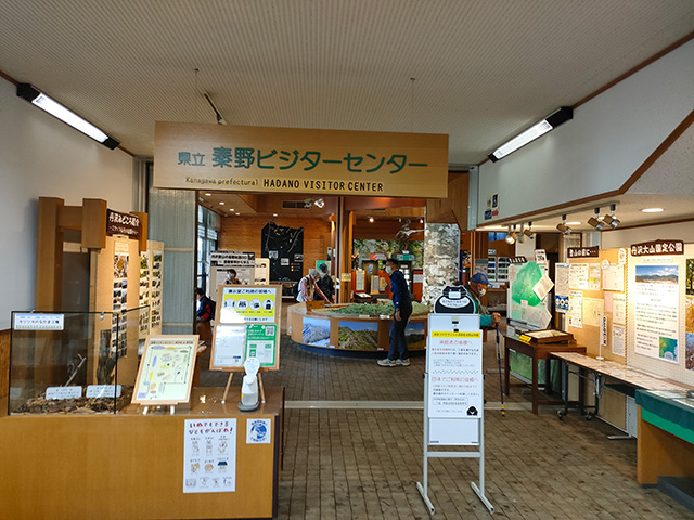
下記画像はバスロータリーと管理センター?です。駐車場は右側奥にあります。
Is the image below the bus rotary and the management center? is. The parking lot is on the right side.
参考までに塔ノ岳のWikipediaを掲載します。下記バナーからアクセスしてください。
For reference, I will post the Wikipedia of Tonodake. Please access from the banner below.
塔ノ岳 Wikipedia
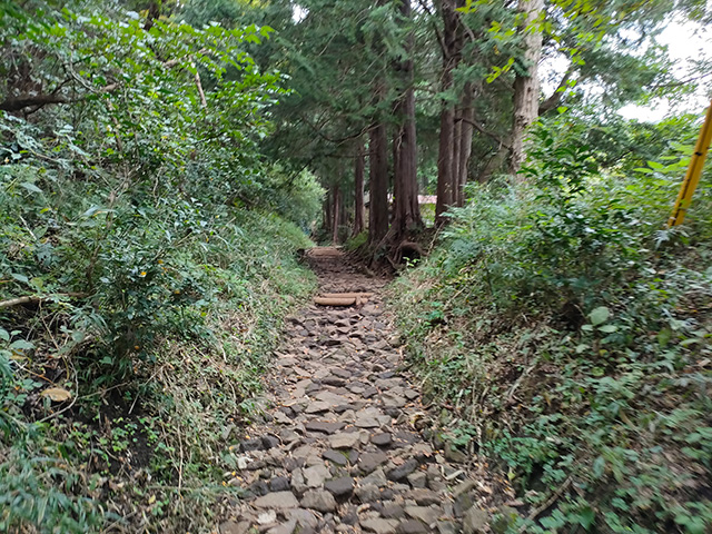
少し車道を登ると石畳のような入口が表れます。ここからが登山の始まりだと個人的には思っております。
Climb the road a little and you will see an entrance that looks like a stone pavement. I personally think that this is the beginning of climbing.
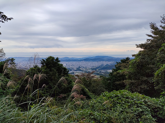
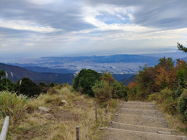
少し登ると下記画像のような風景が表れます。町が小さく見えますがゴールの山頂はまだまだ先です。
If you climb a little, you will see a landscape like the image below. The town looks small, but the summit of the goal is still ahead.
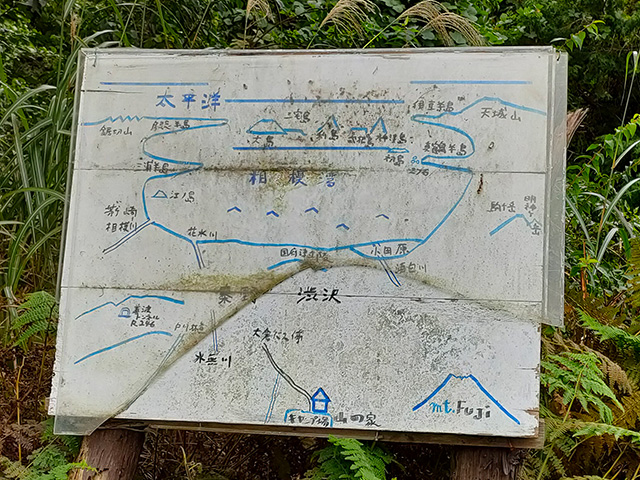
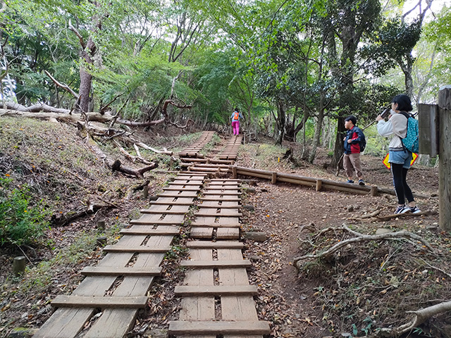
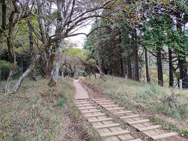
登山道はちゃんと整備されており、比較的登りやすです。ただ個人的に思った事は、初めて登山するとき、要所要所に急な場所があり心が折れる場所があります。何回か登っているとポイントが分かるので、登りやすい山ですが、初心者は登山を止めたくなります。そんな時は少し休憩して体力回復に努めて下さい。
The trail is well maintained and relatively easy to climb. However, what I personally think is that when you climb a mountain for the first time, there are places where you can break your heart because there are steep places at key points. It is a mountain that is easy to climb because you will know the point after climbing it several times, but beginners may want to stop climbing. In such a case, take a short break and try to recover your physical strength.
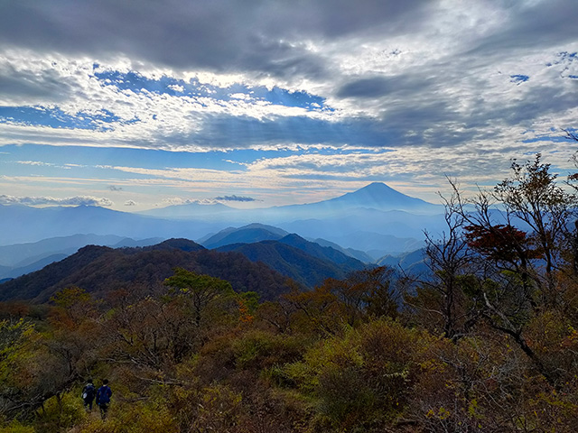
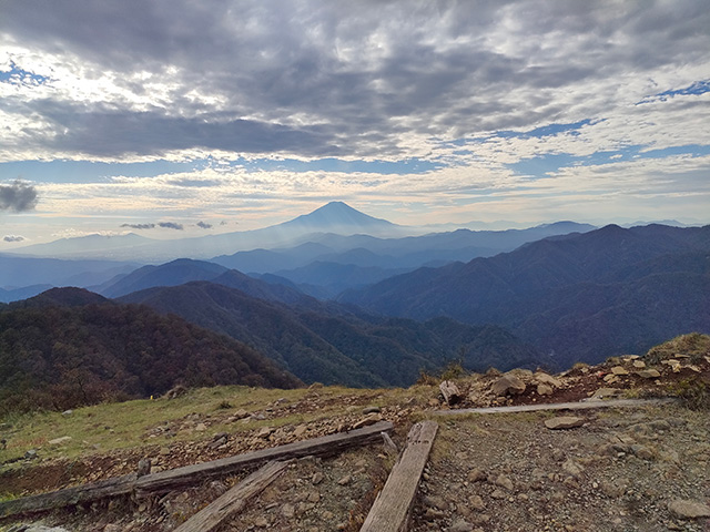
富士山が綺麗です。紅葉が始まる前ですが、大きくそびえています。所々で富士山を見ることが出来ます。
Mount Fuji is beautiful. It’s before the autumn leaves start, but it’s soaring big. You can see Mt.Fuji in some places.
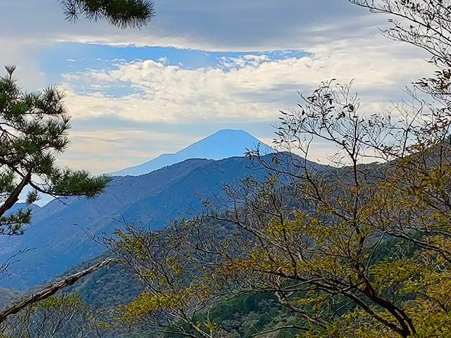
山頂途中にある山小屋です。お汁粉などを食べる事が出来ます。当日は風が強くとても寒かったです。画像では伝わらないと思いますが、強い風が右から左側に吹いています。
A mountain hut on the way to the summit. You can eat shiruko. It was windy and very cold that day. I don’t think it’s conveyed in the image, but a strong wind is blowing from right to left.
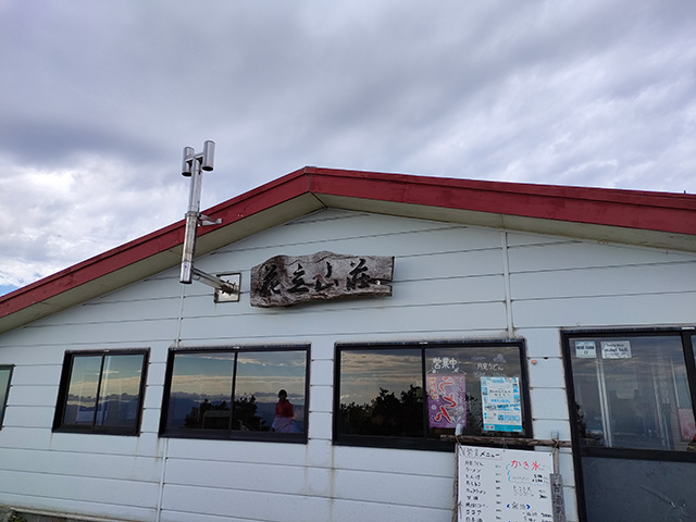
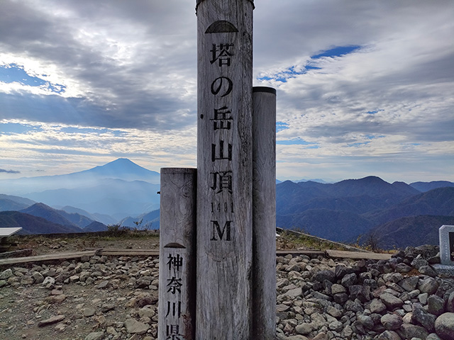
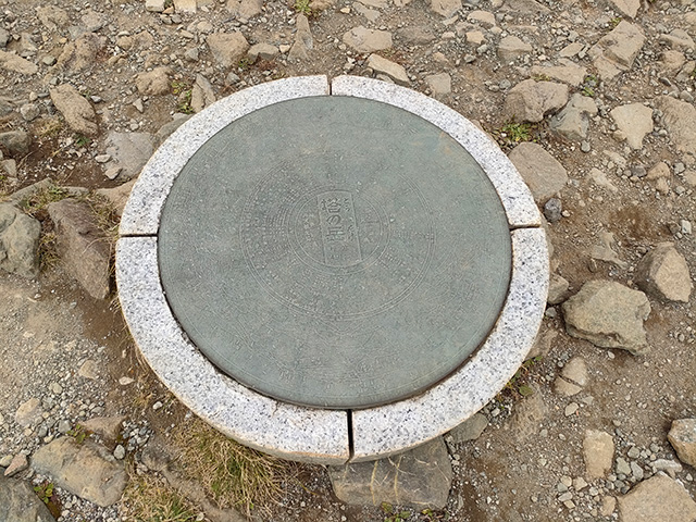
山頂に到着です。何だか周りの景色が神々しく見えます。到着予定時間を大幅に過ぎていますが、目的達成です。
登山をされる場合は、山頂でお昼ご飯を食べれるスケジュールで進める事をお勧めします。
We have arrived at the summit. The surrounding scenery looks divine. We’re well past our estimated arrival time, but we’ve achieved our goal.
If you are going to climb the mountain, we recommend that you proceed with a schedule that allows you to eat lunch at the summit.
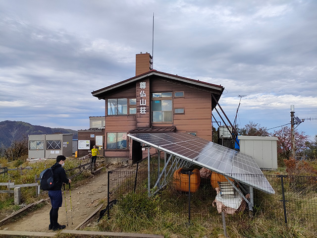
山荘です。もちろん宿泊することが出来ます。トイレは左奥にあります。
It’s a mountain villa. Of course you can stay. The toilet is in the back left.
春や秋ごろに登山することをお勧めします。冬場や夏場は天候の影響で登りづらい時があります。過ごしやすい気候を選んで、安全に登山する事を最後におススメします!
We recommend climbing in spring or autumn. In winter and summer, it may be difficult to climb due to the weather. Lastly, we recommend choosing a comfortable climate and climbing safely!