この記事は10月下旬ごろ、家族で登った塔ノ岳(とうのだけ)登山の話です。12月の塔ノ岳はとても寒いので、装備に注意してくださいね。さて、塔ノ岳の説明です。
This article is about climbing Mt. Tonodake with my family around the end of October. Mt. Tonodake in December is very cold, so please be careful with your equipment. Now, let me explain Mt. Tonodake.
塔ノ岳は丹沢山地南部にある標高1,491 mの山となります。神奈川県秦野市、愛甲郡清川村、足柄上郡山北町の境目に位置する峠です。場所は下記地図をご参照下さい。
Tonodake is a mountain with an altitude of 1,491 m located in the southern part of the Tanzawa mountain range. This pass is located on the border of Hadano City, Kanagawa Prefecture, Kiyokawa Village in Aiko County, and Yamakita Town in Ashigarakami County. Please refer to the map below for the location.
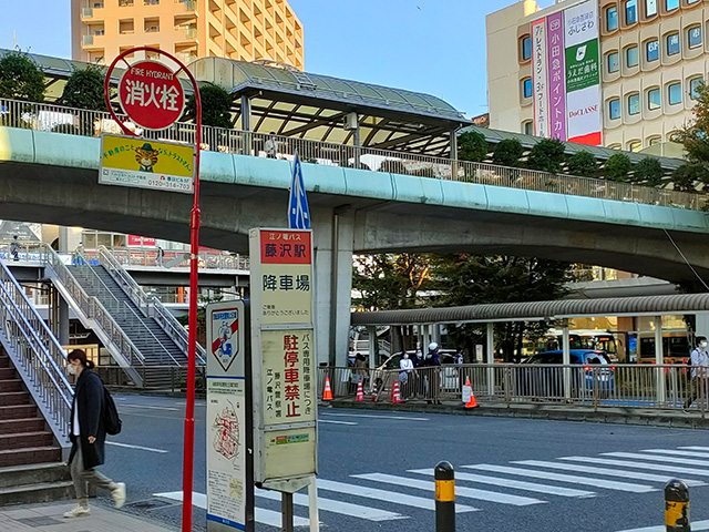
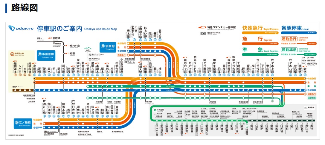
登山口へは車やバスで行くことが出来ます。近くに駐車場がありマイカーで行くのもありですし、小田急線渋沢駅からバスで行くことも可能です。塔ノ岳へのルートは複数存在します。今回は大倉からの登山になります。
You can reach the trailhead by car or bus. There is a parking lot nearby and you can go by car, or you can go by bus from Shibusawa Station on the Odakyu Line. There are multiple routes to Mt. Tonodake. This time we will be climbing from Okura.
登山時間は個人差があるので何とも言えませんが、登り3時間30分~4時間、下り2時間30分前後です。
Climbing time varies from person to person, so I can’t say anything about it, but it takes about 3 hours and 30 minutes to 4 hours for the climb and about 2 hours and 30 minutes for the descent.
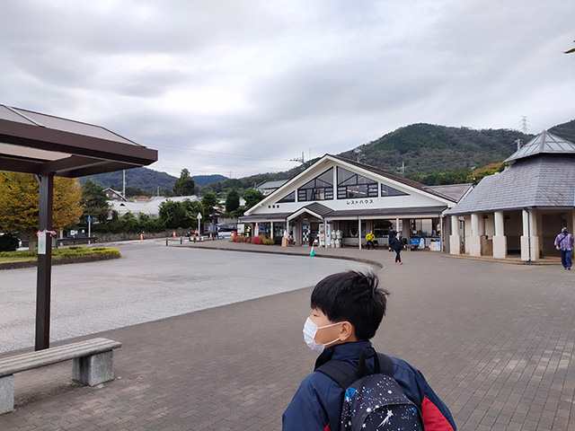
下記画像はバスロータリーと管理センター?です。駐車場は右側奥にあります。
Is the image below the bus rotary and the management center? is. The parking lot is on the right side.
続きを読む
